
Sustainable Development has become a priority for most African countries, especially when natural disasters are increasing and most of the population still struggles with poverty, unemployment, and basic amenities.
Addressing these challenges through technology is changing the status quo compared to when access to technological infrastructure was little to none.
Geospatial application is one among other solutions that Africa has leveraged to solve pressing challenges and maintain development.
Geospatial application stems from geospatial science the study of human behaviour relating to how people use the Earth’s natural or artificial resources.
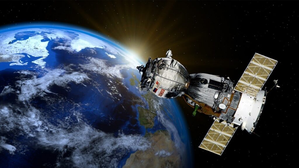
The Geographical Information System GIS was the first geospatial tool invented in 1963.
It’s computer software for collecting data, integrating, analysing and distributing resulting products about the Earth in relation to its physical position.
The digital revolution has accelerated geospatial capture, coordination, and intelligence by fusing the physical and digital worlds, resulting in a merger of geospatial perception and reality.
According to Allied Market Research, the global GIS software market was valued at USD 6.3 billion in 2020 and is projected to reach USD 25.5 billion by 2030, growing at a CAGR of 15.2% from 2021 to 2030.
Technological advancement has transformed geospatial science from a mere application into geospatial-Intelligence which informs decision making.
In addition, information from satellites, Global positioning systems GPS, coordinate geometry COGO, and unmanned aerial systems drones are consolidated with GIS to provide more accessibility to data that artificial intelligence systems and 3D technologies transform into decision ready intelligence.
Furthermore, geospatial intelligence goes beyond traditional GIS because it involves a unique and essential process known as tradecraft.
Tradecraft combines special knowledge and techniques, technology, and analytical skills to help anticipate and make sense of events and actions.
It takes the basic information from maps and other geospatial technology and combines it with other types of intelligence, such as information gathered from people or images, to give a complete and clear picture of an event.
It is a cognitive process that combines culture based knowledge, signal intelligence, human intelligence, and imagery intelligence to unlock the full potential of geospatial technology.
In other words, tradecraft is like a secret weapon employed in the military to get the most out of geospatial information and technology.
Different people in everyday life consume geospatial intelligence. For example, anyone planning a trip to a new place could use a map or a GPS to help them get there, avoid traffic, and locate the best places and things.
In the industry, geospatial intelligence is used to make important decisions relating to natural disasters, track supply chains, improve public transport, etc.
In Africa, GIS has been helpful in various economic sectors such as agriculture, energy & power, oil & gas, and telecommunications.
The most common applications supporting sustainable development and addressing challenges in Africa are disaster management, healthcare, real estate, insurance etc.
Below are some institutions committed to sustainable development in Africa, leveraging the power of geospatial applications and supporting commercial and government entities through data access, capacity development, and policymaking.
Source: https://spaceinafrica.com/2023/02/24/accelerating-africas-sustainable-development-with-geospatial-intelligence/