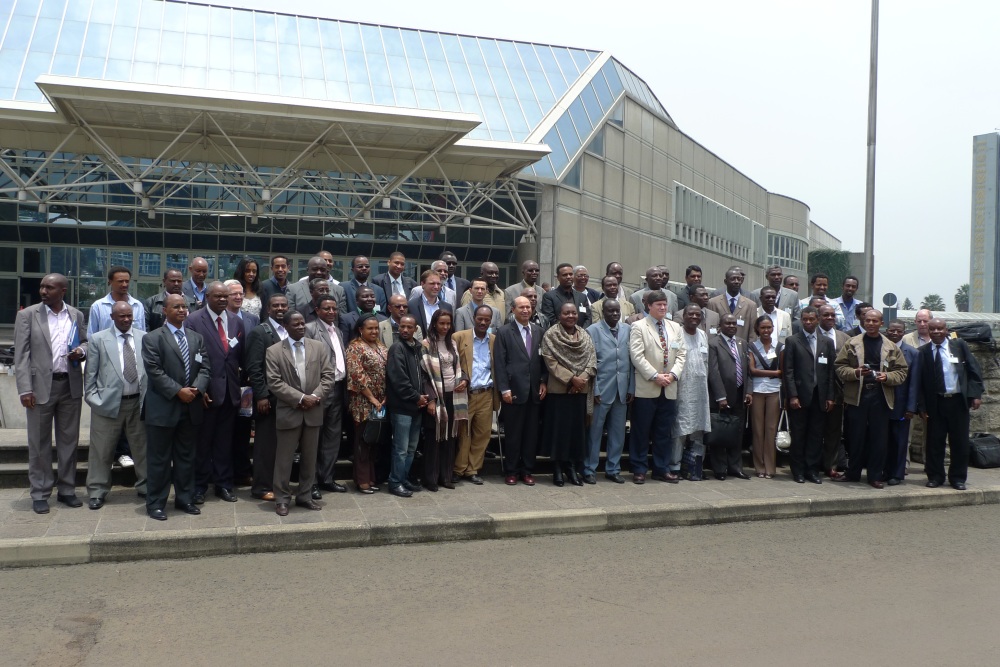
The 10th Session of the Regional Committee of the United Nations Global Geospatial Information Management for Africa (UN-GGIM, Africa) took place from October 28 to November 1 in Addis Ababa, Ethiopia. The gathering brought together leading geospatial experts and policymakers to explore the role of geospatial intelligence in building a disaster-resilient Africa. Themed “Harnessing the Potential of Geospatial Intelligence for a Disaster-Resilient Africa,” the event underscored the importance of geospatial data in enhancing disaster management, resilience, and sustainable development efforts across the continent.
Key Themes and Focus Areas
Participants explored the applications of geospatial information for disaster preparedness and resilience. Discussions also centred on the United Nations Integrated Geospatial Information Framework (IGIF), a key initiative to advance geospatial data usage to drive the Sustainable Development Goals (SDGs) in Africa. The framework outlines strategies for effectively integrating geospatial and statistical information to improve governance and enable data-driven policy-making.
Integrating geospatial and statistical data remains a challenge across the continent, as highlighted by discussions on the Global Statistical Geospatial Framework (GSGF). The framework’s goal is to support data systems that seamlessly blend statistical and geospatial information, further enhancing the precision and utility of information for national development planning.
Representatives from South Africa’s National Department of Land Reform and Rural Development, including Clinton Heimann and Maroale Mimi Martha Chauke, chaired the session. Fernand ISSERI served as Vice Chair, while Andre Nonguierma, Godheart Ayenika, and Aster Denekew supported the UN-GGIM Africa Secretariat. Furthermore, their leadership facilitated productive discussions and set a collaborative tone for advancing Africa’s geospatial agenda.
A notable highlight was also the joint segment on Geospatial and Statistics, chaired by Clinton Heimann of UN-GGIM Africa and Kenneth Garcia of StatCom Africa. This segment underscored the collaborative potential between geospatial and statistical communities in supporting evidence-based decision-making for development and disaster resilience.
Moving Forward
The 10th Session of UN-GGIM Africa showcased Africa’s growing commitment to harnessing geospatial intelligence as a tool for resilience and sustainability. In addition, as the continent advances with initiatives like IGIF and GSGF, collaboration between member states and organisations will be critical for overcoming challenges and maximising the impact of geospatial intelligence for Africa’s future.
Source: http://spaceinafrica.com/2024/11/03/the-10th-session-of-the-regional-committee-of-un-ggim-for-africa-held-in-addis-ababa/


