
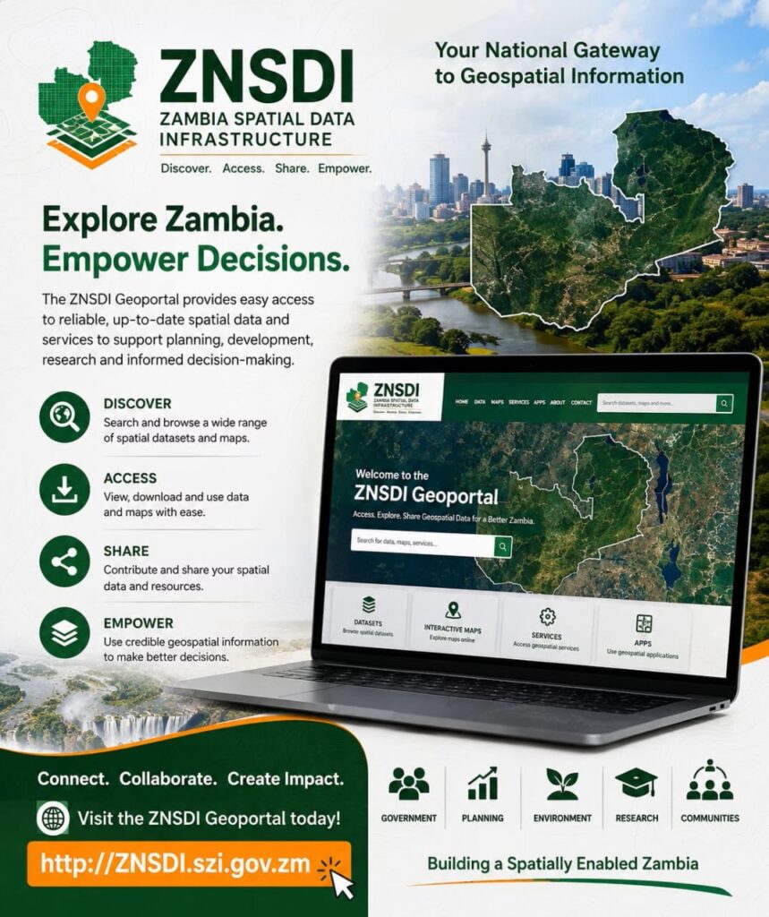
The SMART Zambia e-Government Division has launched the Zambia National Spatial Data Infrastructure (ZNSDI) Policy alongside a new national geospatial portal, signalling a major shift in how government spatial data will be managed, shared, and used across public institutions from 2026 to 2030.
The newly launched system is built on open-source software, a deliberate move away from expensive proprietary platforms and long-term vendor lock-in.
According to the announcement, this approach is intended to reduce costs while giving government greater flexibility and control over its digital infrastructure.
Overall, the launch reflects a broader push toward digital transformation and data-driven governance in Zambia.
It also signals an effort to encourage innovation, improve transparency, and expand the use of geospatial technologies across both government and the wider development ecosystem, with the policy explicitly aligned to regional and global frameworks such as the African Spatial Data Infrastructure and the United Nations Integrated Geospatial Information Framework.
With non-sensitive datasets open by default under the new framework, and designated custodians required to publish metadata and adhere to regular update cycles, the policy aims to ensure that geospatial information collected using public resources is shared more widely across government and, where appropriate, with the public.
Source: https://spaceinafrica.com/2026/06/18/zambia-launches-national-spatial-data-infrastructure-policy-and-geoportal-built-on-open-source-software/